The Origins of Modern Geology
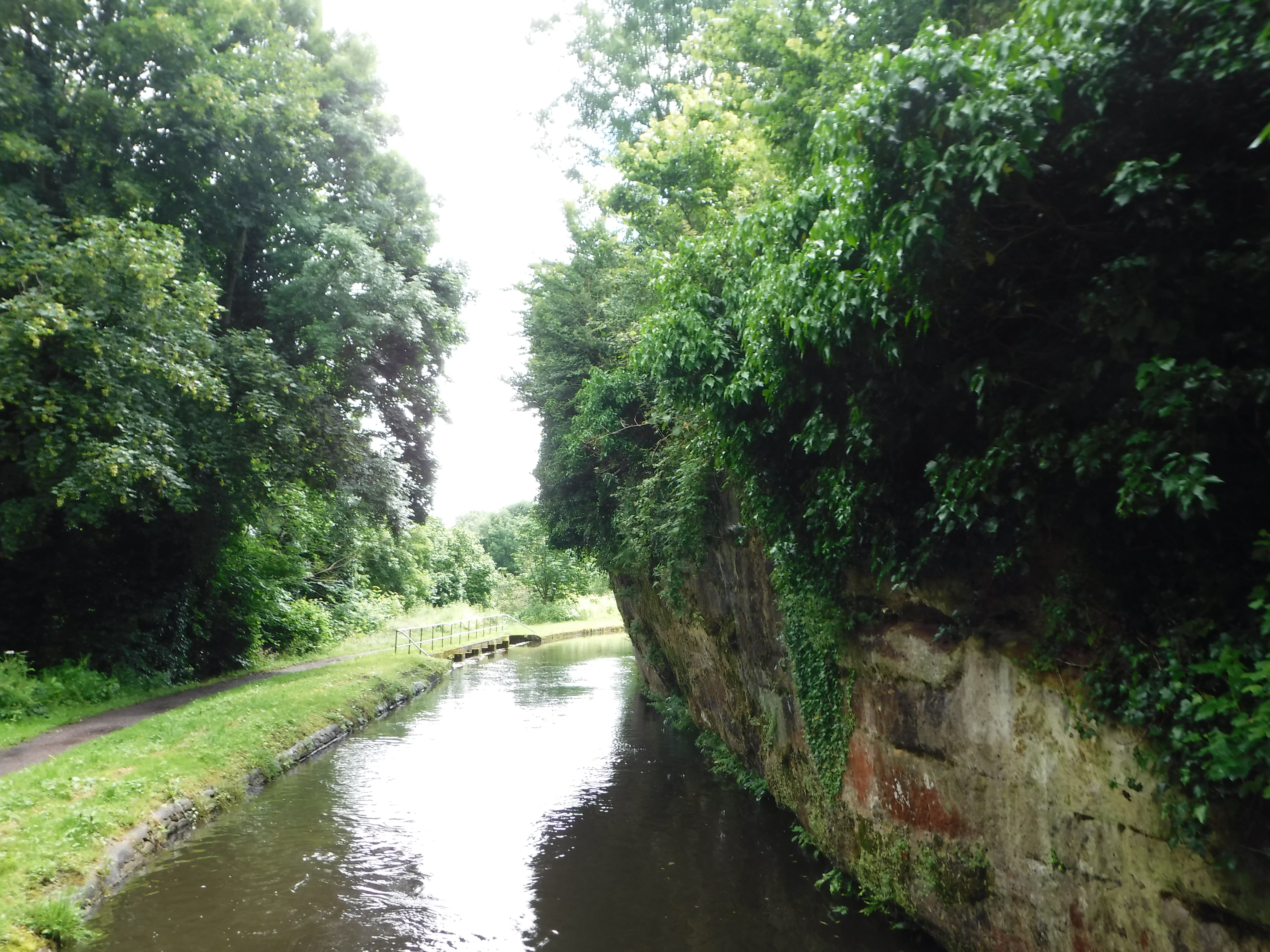
After a rainy morning where we stayed home, we made our way down a short but fascinating stretch of canal from Kinver to Wolverly. The local rock is red sandstone, and in some places the navvies who cut the canal with pick and shovel left it overhanging the water.
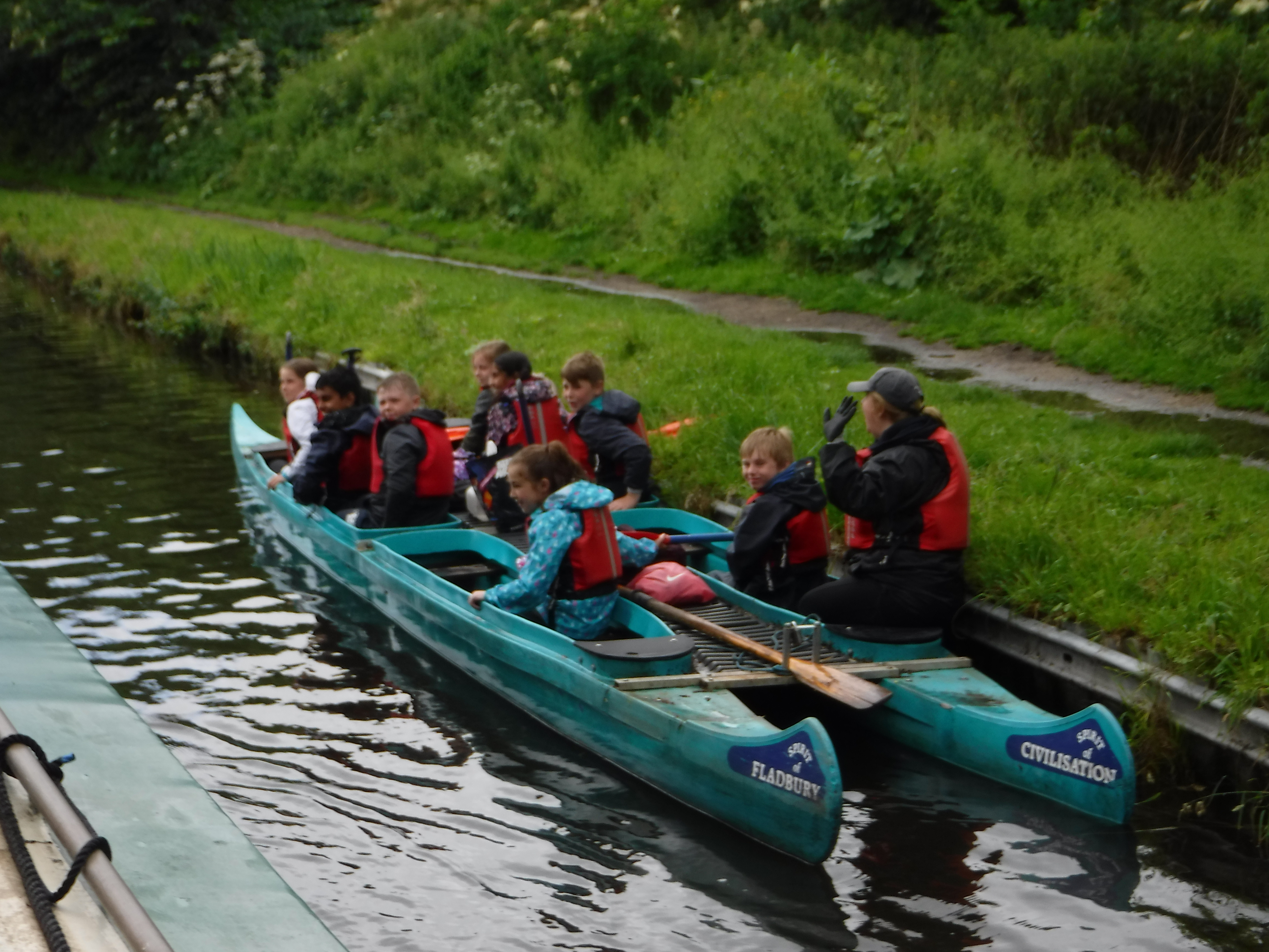
Through this section we were chasing a party of schoolkids paddling outriggers, but they pulled over to let us go by.
Then they got to chase us through a tunnel with houses on top.
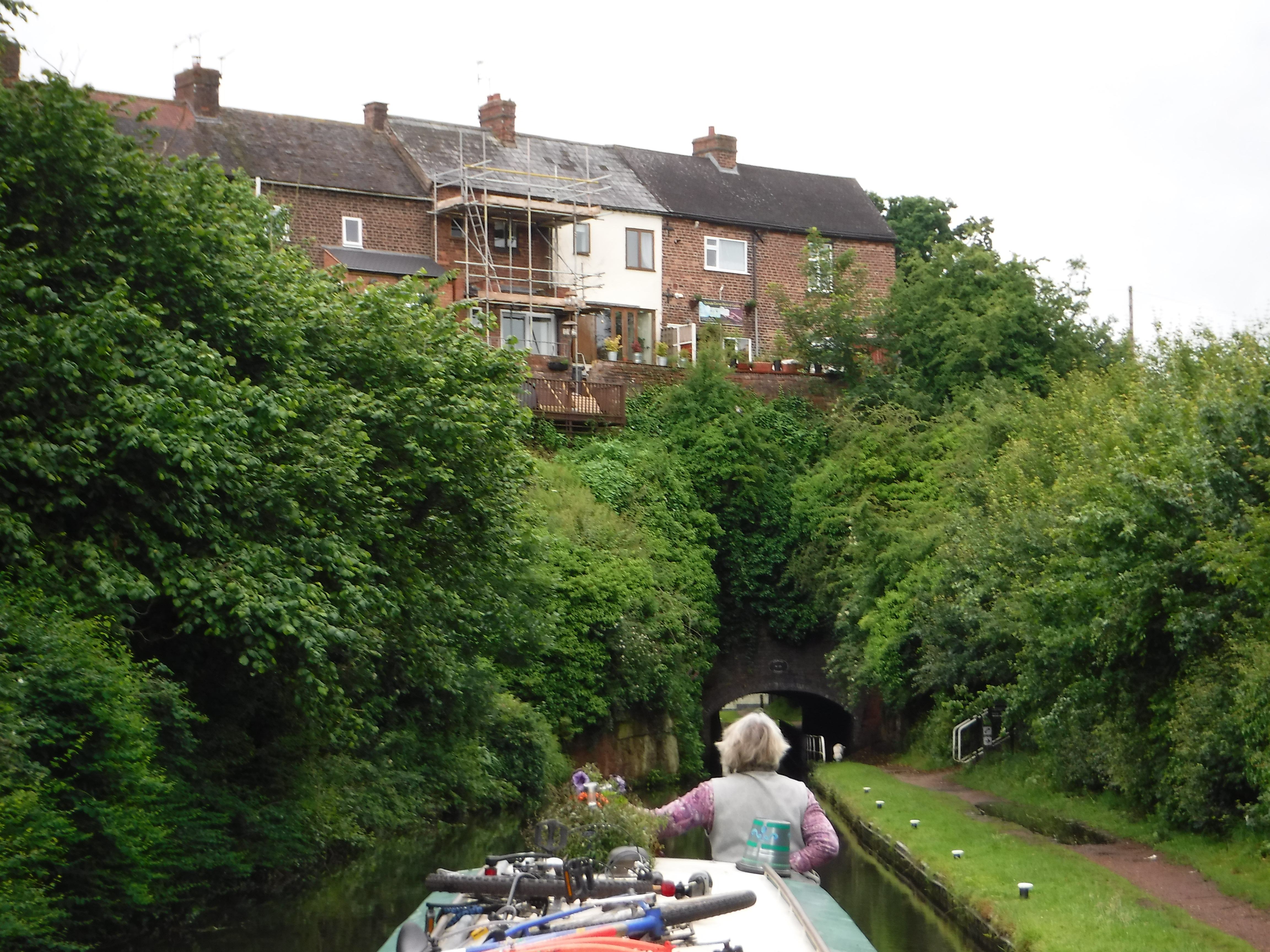
Yes, I had to duck to get through the tunnel, but the newly low profile bicycles were fine.
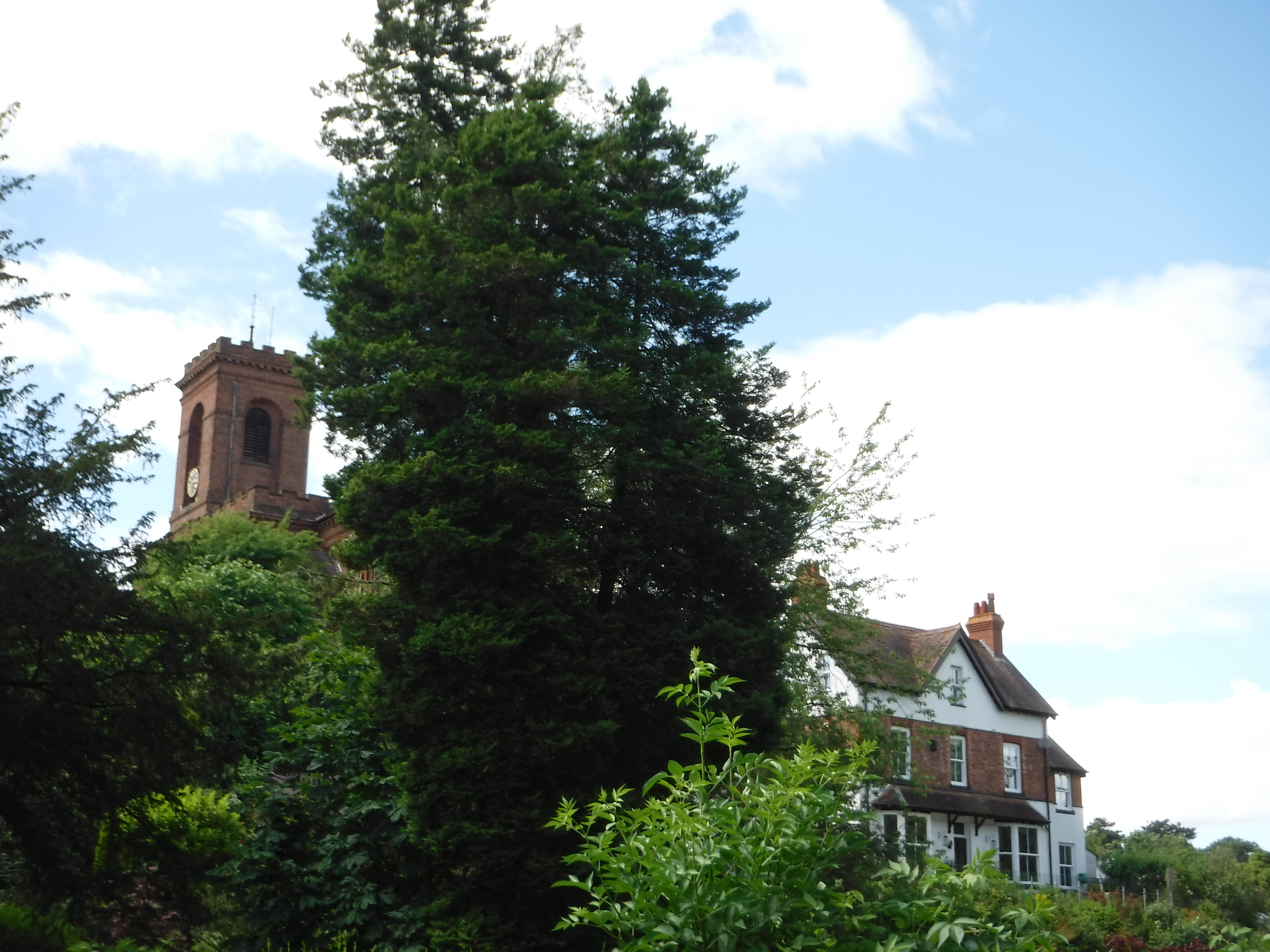
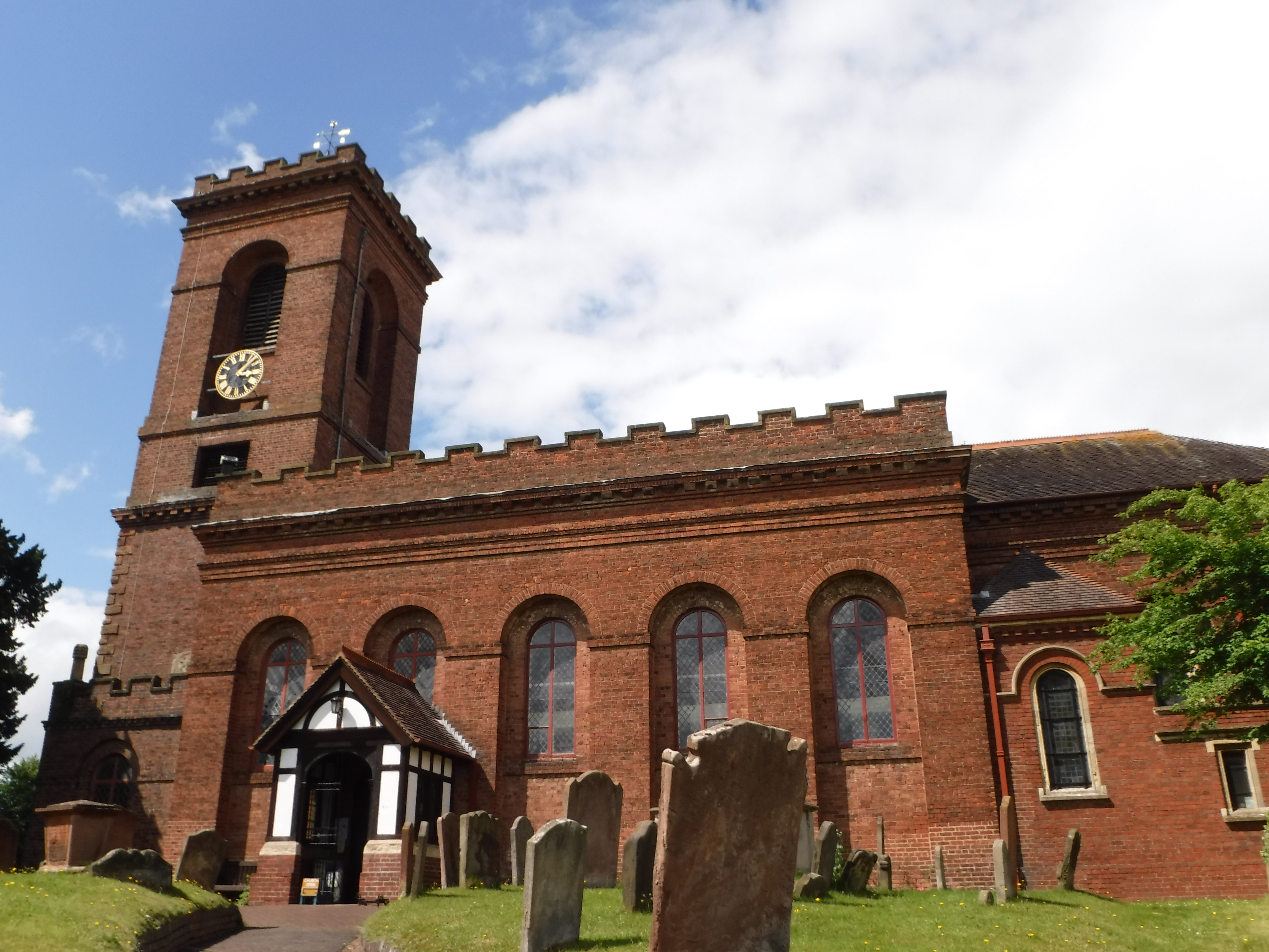
The village of Wolverley is dominated by brick church set on a hilltop.
At the base of the hill are caves carved in the rock that I think were once part of dwellings, now apparently use for storage of miscellaneous junk so dangerous it has to be kept behind bars.

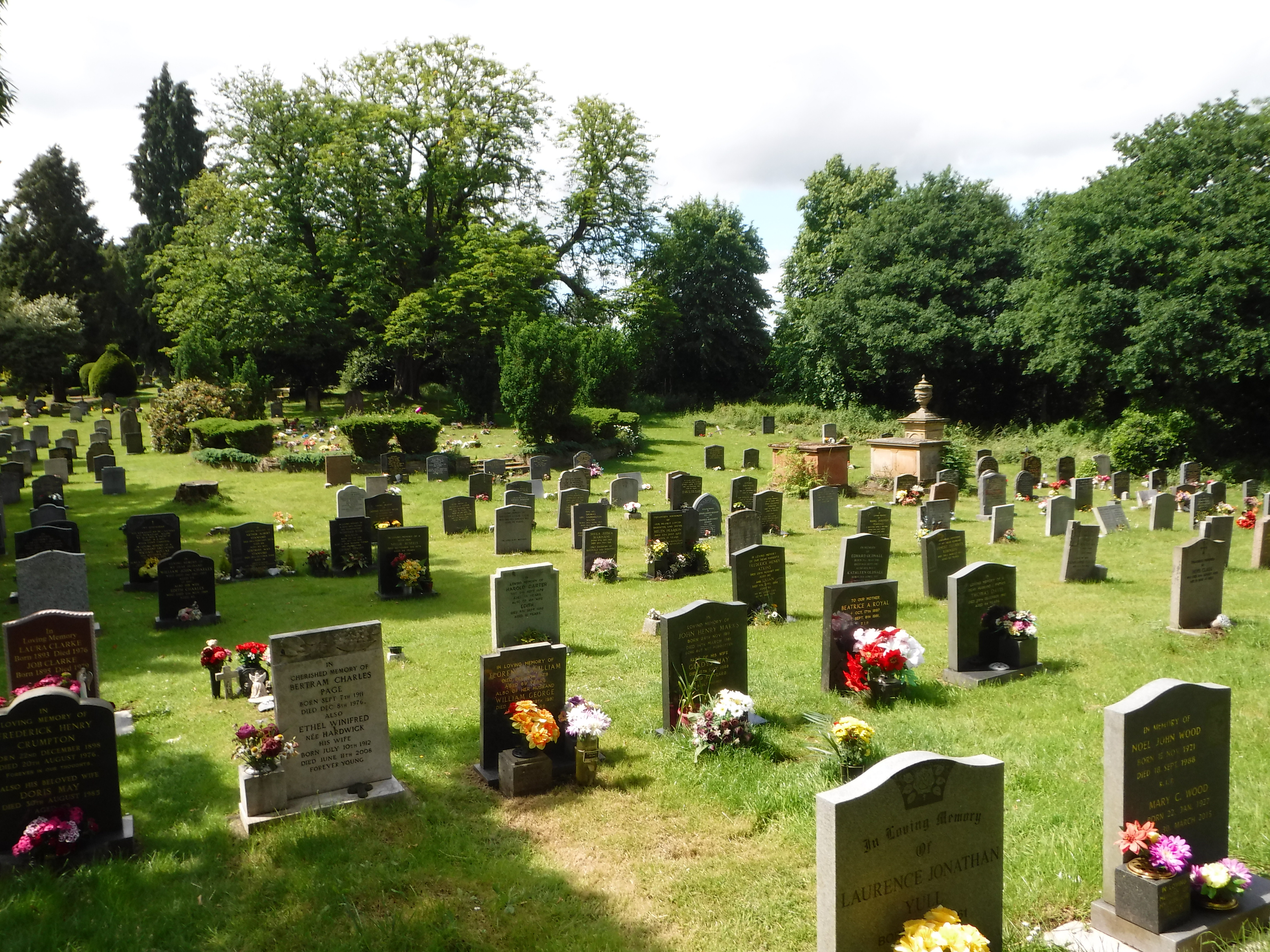
The churchyard is very pretty, and puts you in mind of Grey’s Elegy, or perhaps Grey’s Anatomy depending on your taste.
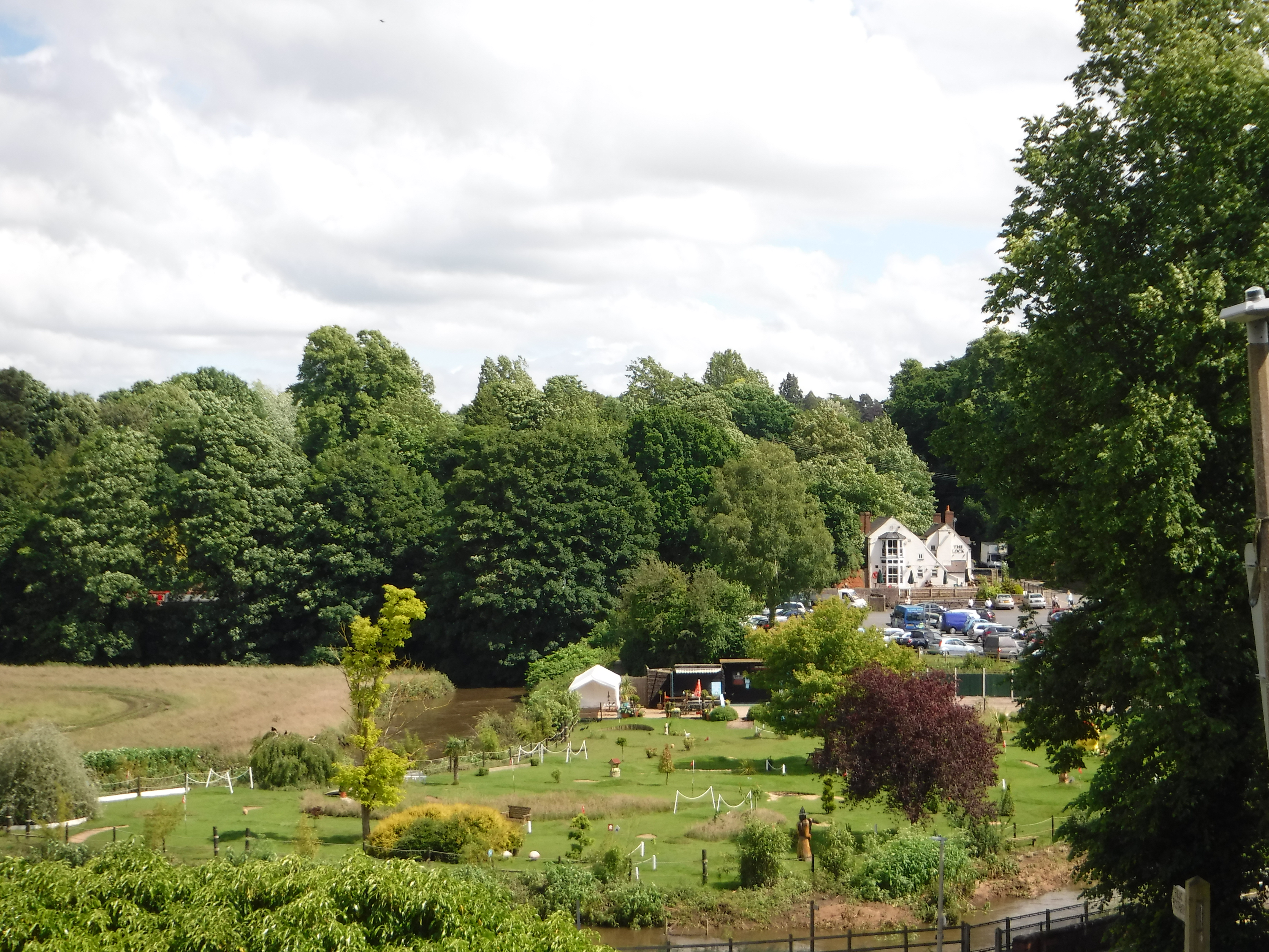
The church gives a fine view over the miniature golf course to the Lock Inn, which is right by the lock where we are moored.
The other item of note in Wolverley is a bog called the Bishop’s Field Nature Reserve. This is the home of the Greater Tussock-Sedge, a clump of grass so big that you can cut it off whole and use it as a seat. Unfortunately it did not appear to be Tussock-Sedge season. Either that, or they were lurking deeper in the bog than I was willing to go without my wellies, ready to strangle any upstart Lesser Tussock-Sedges that might trespass on their territory. Think the Dead Marshes, but with more aggressive grass.
So, you ask, what does all this have to do with the origins of modern geology? Well, if you are digging a canal, there is a huge difference between digging through clay and digging through the sort of sandstone today’s canal was cut through. The early canal developers had no idea what their navvies were going to be digging through, which regularly resulted in enormous delays and cost overruns.
Along came William “Strata” Smith, the son of a village blacksmith. Smith had no formal education beyond attending a village school till the age of twelve or so, but he became assistant to a surveyor, and later a surveyor in his own right. While surveying for canals in area where there were sloping strata he was able to determine the order of strata. He was the first person to point out that similar seeming rocks containing different fossils were in fact different strata. Over the years he collected data from the entire country, and in 1815 published the first geological map of England, Wales, and Southern Scotland.
In other words, the English canal system provided both the economic incentive and the experimental data required for a deeper understanding of geology.